
OS geographic data
A4 document to advertise geographic data for Ordnance Survey (Great Britain’s national mapping authority).
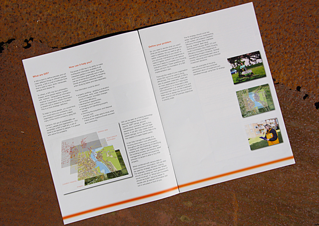
The 3D “buildings” on the map represent the houses geographic data. The orange colour was used to show the digital aspect of these data.